Metro's fourth RENDER project a go next to TV, film studios Josh Green Mon, 11/11/2024 - 13:42 Developer interest in Atlanta’s western suburbs near several regional attractions continues.
Charlotte-based, mixed-use developer Crescent Communities has closed on land about 20 miles west of downtown to build its fourth RENDER-branded project in the metro.
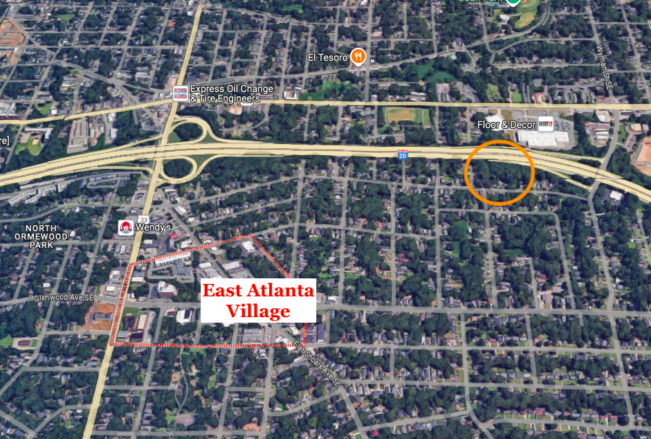
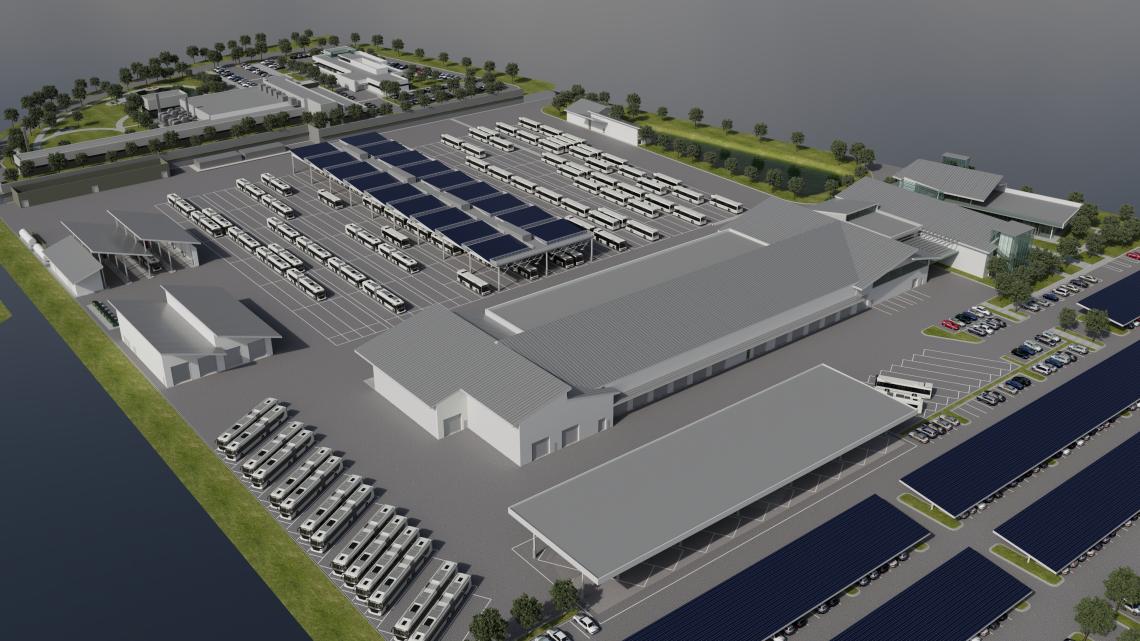
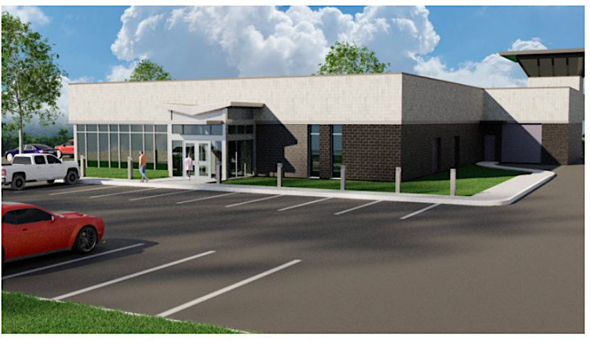
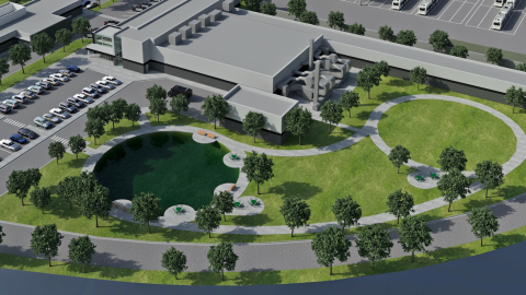
RENDER Douglasville is slated to take shape at 2553 Fairburn Road as part of The Foxfield Company’s 59-acre The Trails development, which includes the new 500,000-square-foot Great Point Studios film complex anchored by Lionsgate.
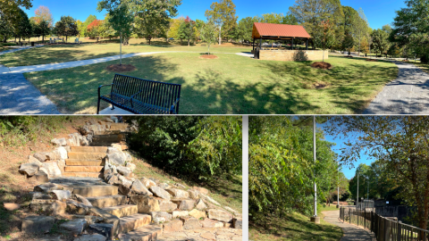
Other points of interest in the area include Sweetwater Creek State Park, Six Flags Over Georgia, and downtown Douglasville. The city is the quickly growing county seat and largest city in Douglas County, counting an estimated population of 40,500—or twice what it was in the year 2000.
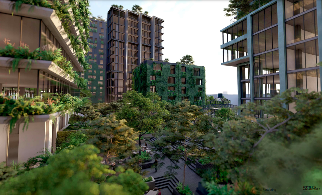
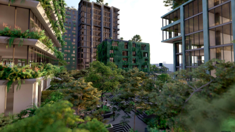
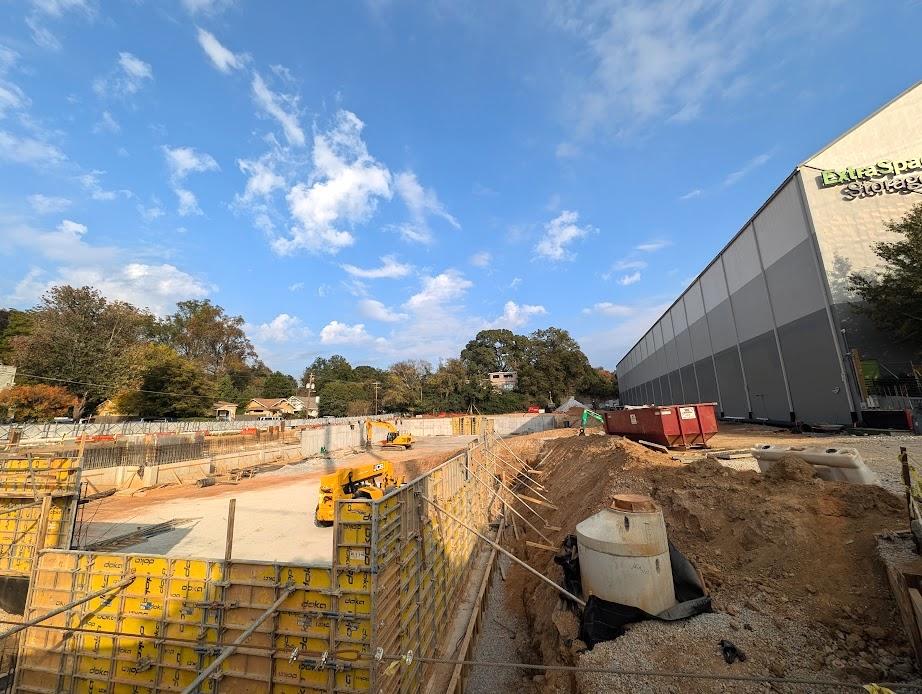
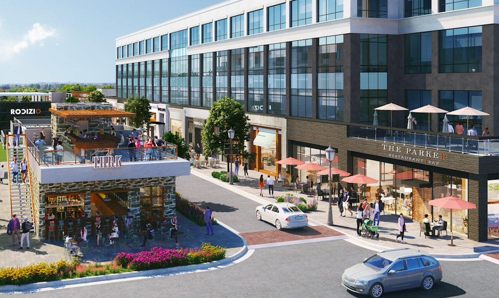
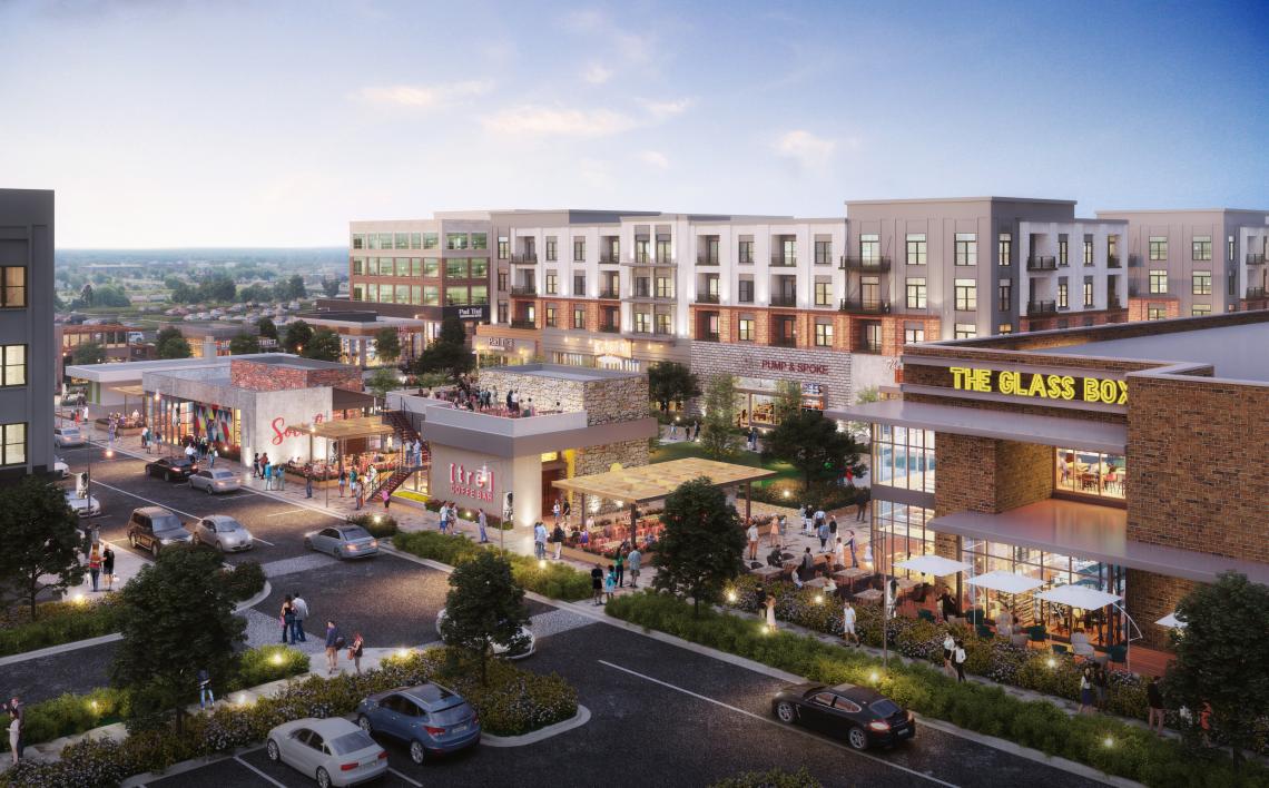
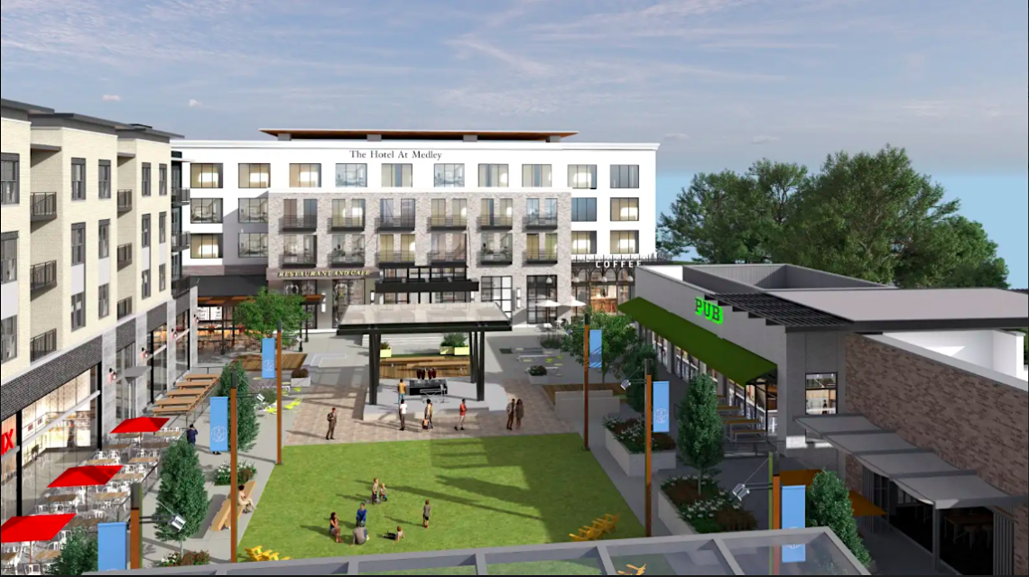
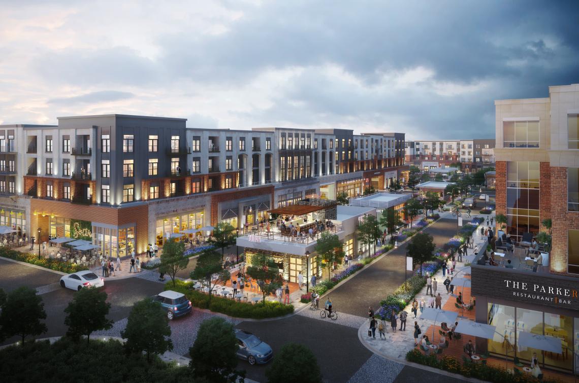
 Courtesy of Crescent Communities
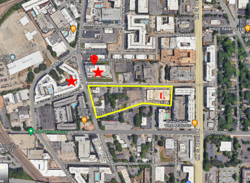
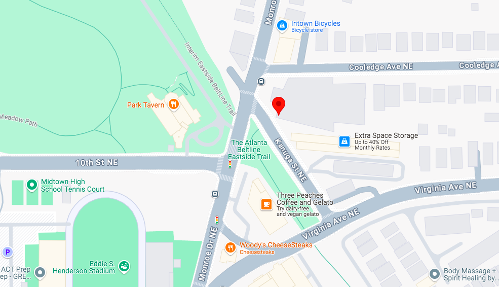
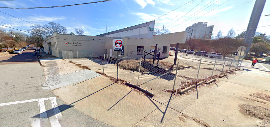
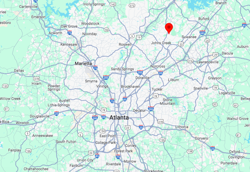
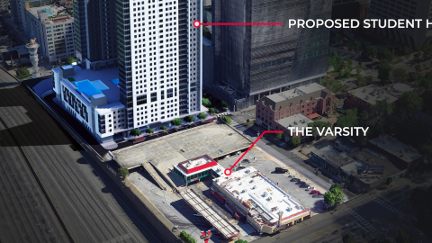
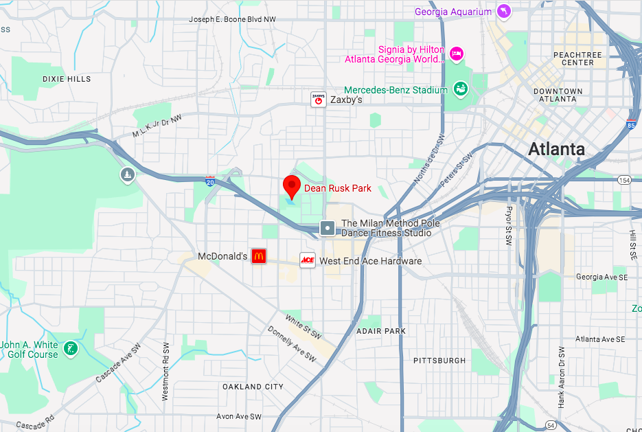
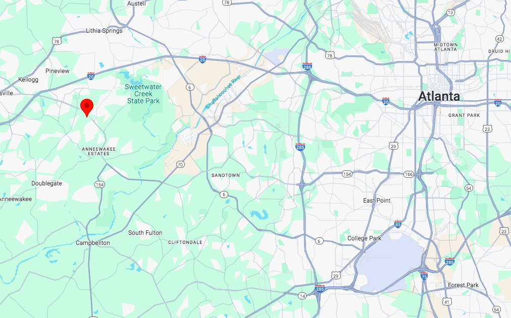 RENDER Douglasville's 2553 Fairburn Road location due west of downtown Atlanta. Google Maps
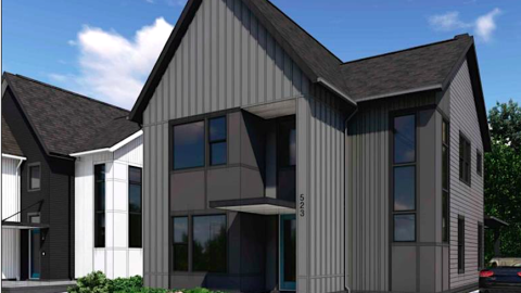
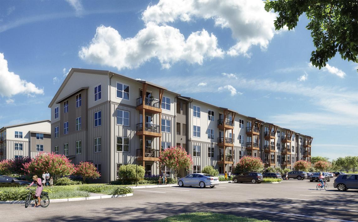
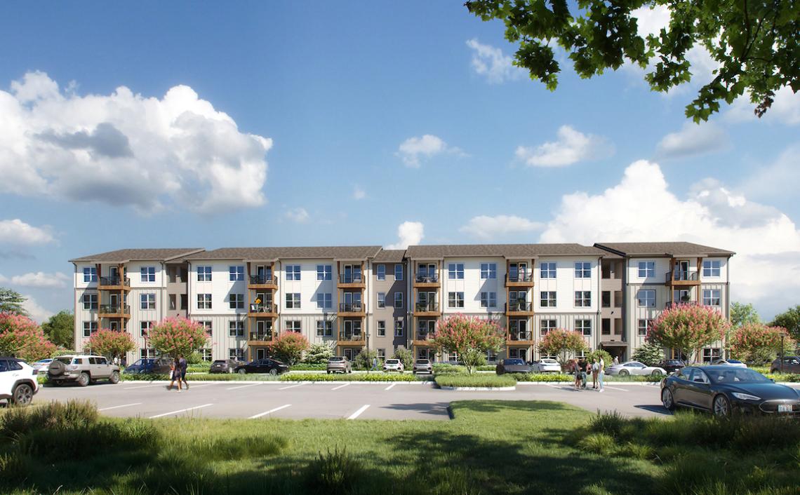
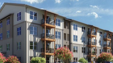
Situated south of Interstate 20, about four miles from the state park, the 300-unit RENDER Douglasville calls for five buildings standing four stories each, with greenspaces and a connection to the Douglas County Trail System, according to Crescent officials.
The RENDER project line is Crescent’s more approachable, less expensive suburban product, whereas the company’s multifamily NOVEL brand aims to deliver more luxurious, Class A offerings in denser, urban environments.
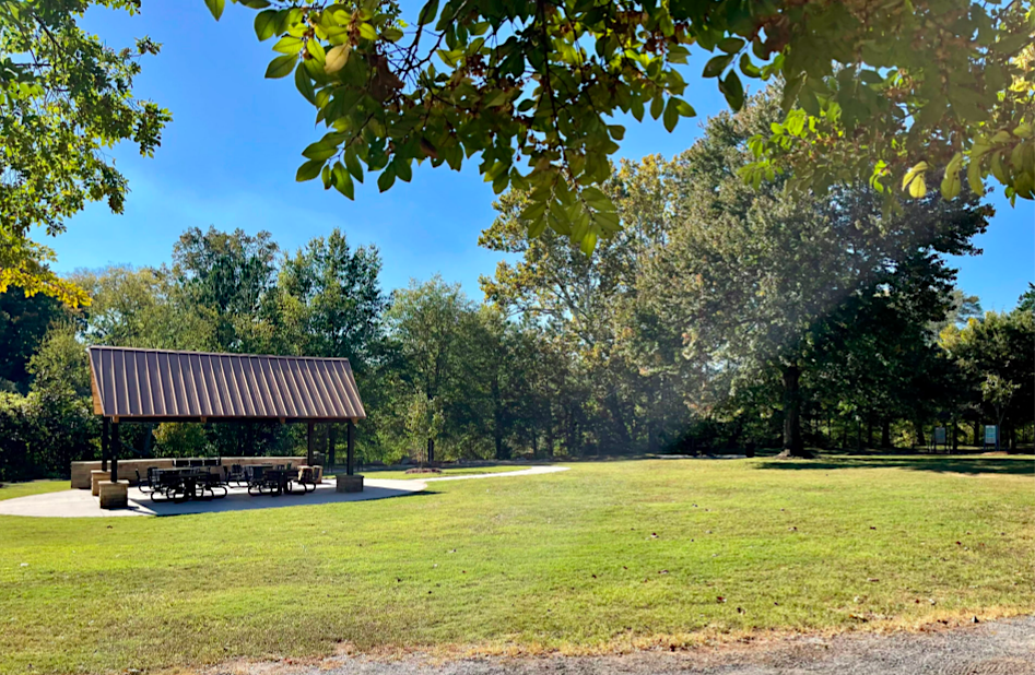
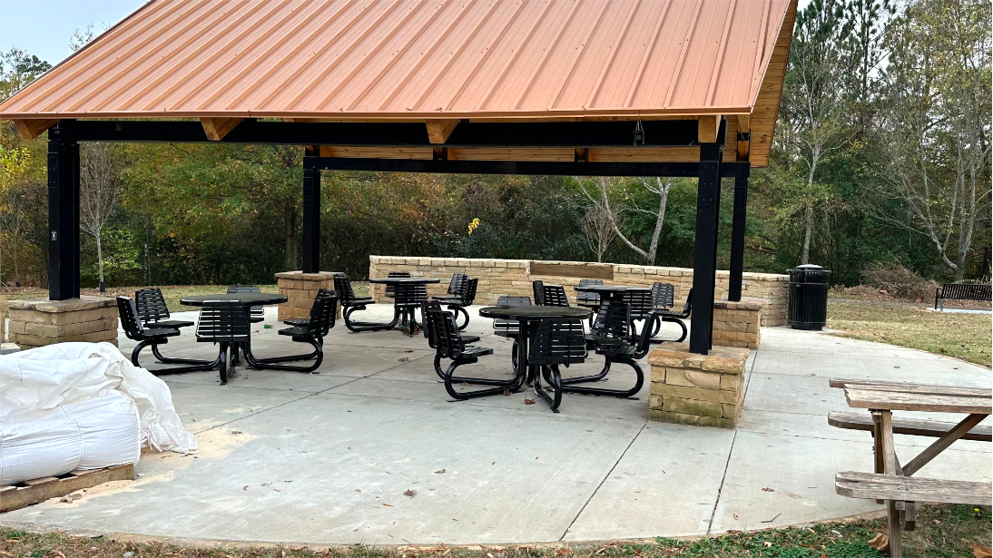
Perks of the Douglasville project will include a resort-style pool and clubhouse and communal outdoor spaces for movie nights, concerts, and food truck events, per developers.
The broader The Trails development is expected to include a 60,000-square-foot commercial village, a hotel, office spaces, and for-sale townhomes, all linked together by walking trails and sidewalks.
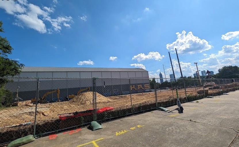
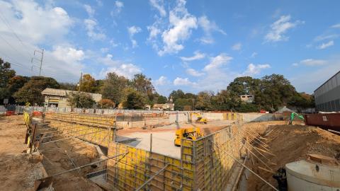
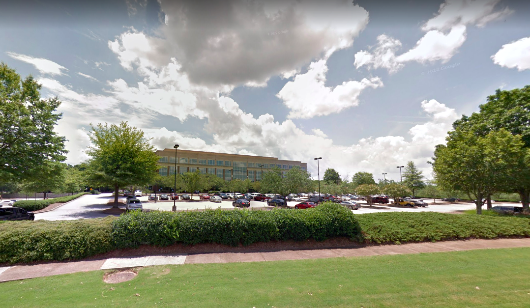
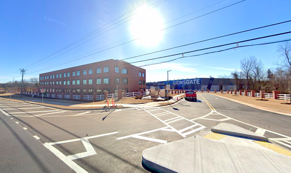 Entry to the studio-anchored The Trails complex, as seen early this year. Google Maps
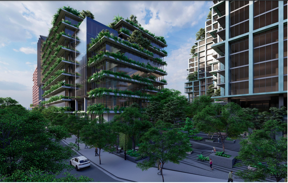
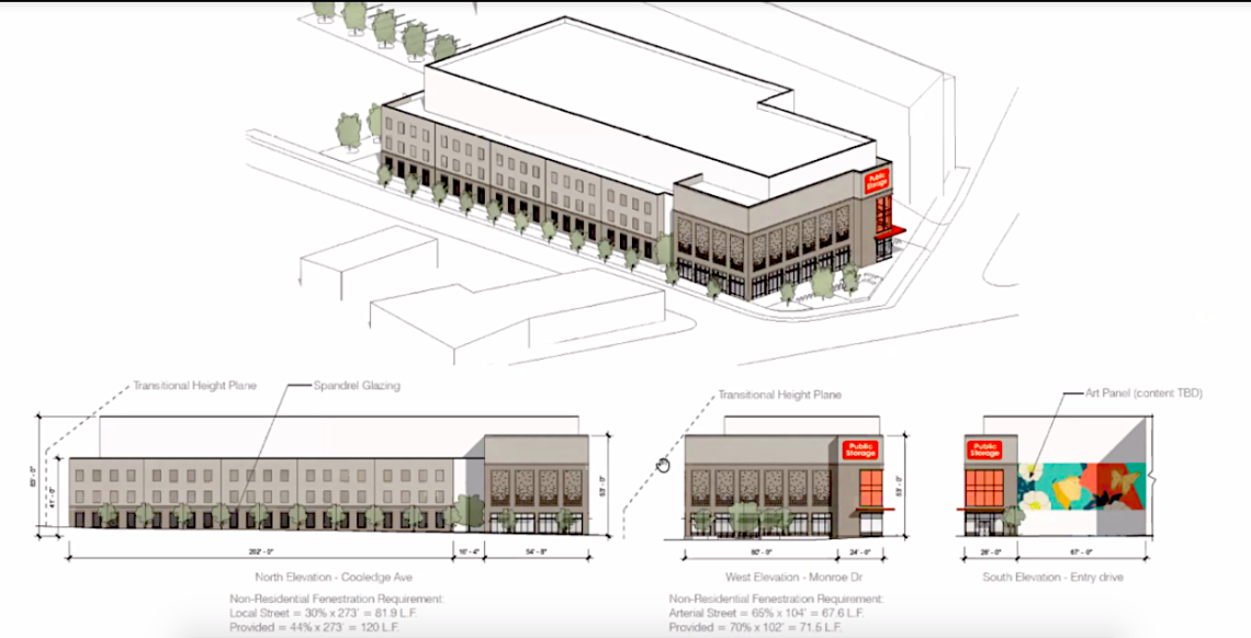
 Courtesy of Crescent Communities
RENDER Douglasville’s apartments are scheduled to deliver in early 2026, per Crescent reps. Financial partners in the project include CIBC, Phoenix Capital Management, and Great Southern Bank, while Crescent Communities Construction is on board as general contractor.
Closer to Atlanta’s core, Crescent opened Novel West Midtown last fall and sold off the high-rise Novel Midtown in the fourth quarter of last year, fetching the city’s highest price for a multifamily community in 2023.
Elsewhere in the metro, the developer has finished a project called RENDER Covington, while RENDER Stockbridge and RENDER Turner Lake are under construction and slated to open in 2025.
Crescent has been active in the Atlanta market for decades, with a dozen completed or forthcoming projects in its portfolio totaling more than 3,000 units. In announcing RENDER Douglasville, Eric Liebendorfer, Crescent’s managing director for Georgia, said the company will “continue to prioritize vigorous growth in the region” moving forward.
...
Follow us on social media:
Twitter / Facebook/and now: Instagram
• Douglasville news, discussion (Urbanize Atlanta)
Tags
2553 Fairburn Road Douglasville Render Douglasville Ga. Highway 92 Great Point Studios Lionsgate Crescent Communities The Trails OTP Atlanta Suburbs Suburban Development Novel Midtown Novel West Midtown Render RENDER Stockbridge Render Turner Lake The Foxfield Company CIBC Great Southern Bank Phoenix Capital Management Crescent Communities Construction WellStar Douglas Medical Center Douglas County Douglas County Development Douglasville Development
Images
RENDER Douglasville's 2553 Fairburn Road location due west of downtown Atlanta. Google Maps
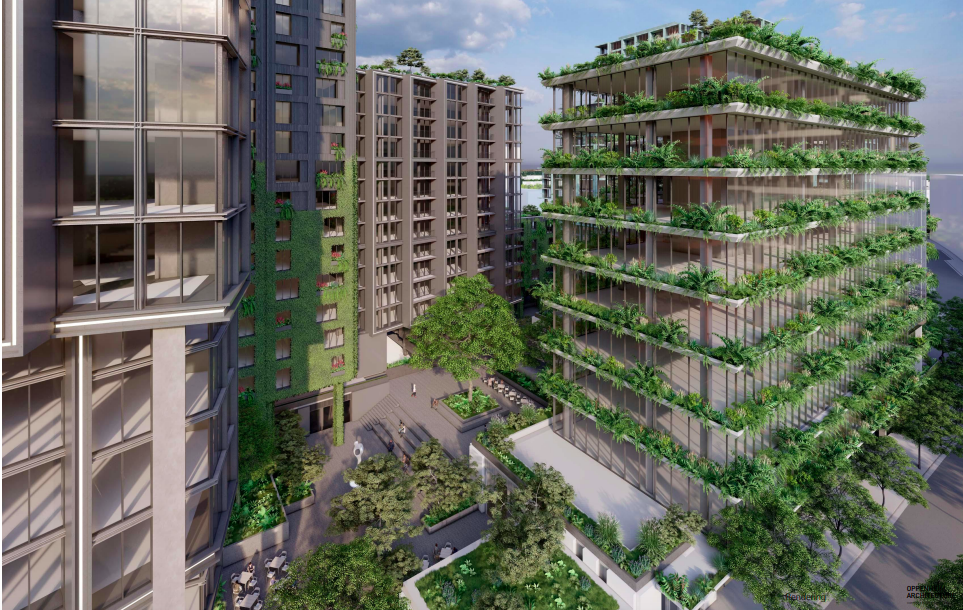
Courtesy of Crescent Communities
Courtesy of Crescent Communities
Entry to the studio-anchored The Trails complex, as seen early this year. Google Maps
Subtitle Douglasville development to rise in The Trails complex anchored by Lionsgate
Neighborhood OTP
Background Image
Image
Before/After Images
Sponsored Post Off