Vision emerges for final building at Glenwood Park neighborhood Josh Green Mon, 10/14/2024 - 10:40 More than 20 years after construction began on drab, former industrial land next to Interstate 20, the final piece of celebrated New Urbanism neighborhood Glenwood Park is coming into focus.
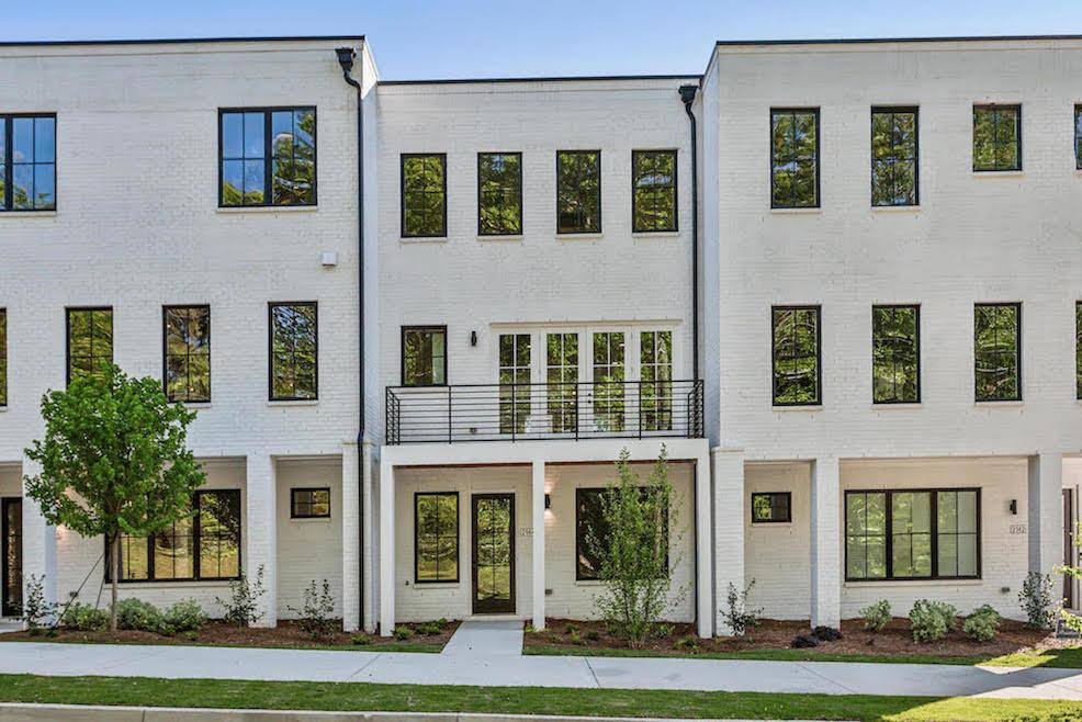
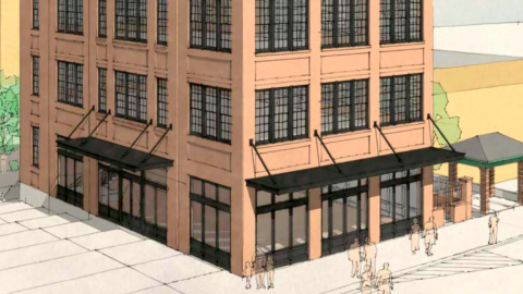
The last available lot at the Ormewood Park project will see a four-story, mixed-use office building take shape with a throwback design and scale that recalls Atlanta architecture from a century ago in places such as Broad Street downtown.
That’s according to a thoughtful report this month from Congress for the New Urbanism titled “Wrapping up a landmark new urban neighborhood” that chronicles Glenwood Park’s transition from a 28-acre, abandoned concrete recycling plant to an organically walkable neighborhood beginning in 2003.
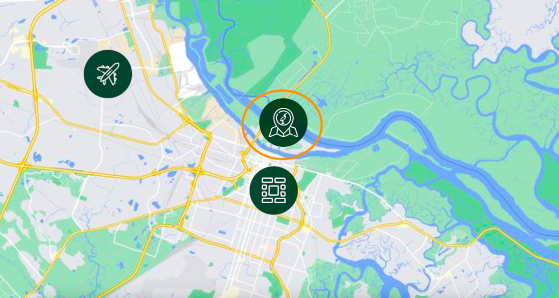
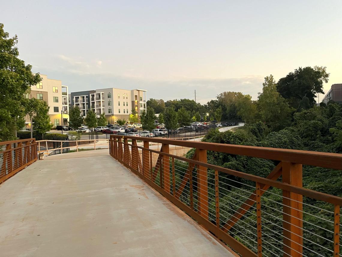
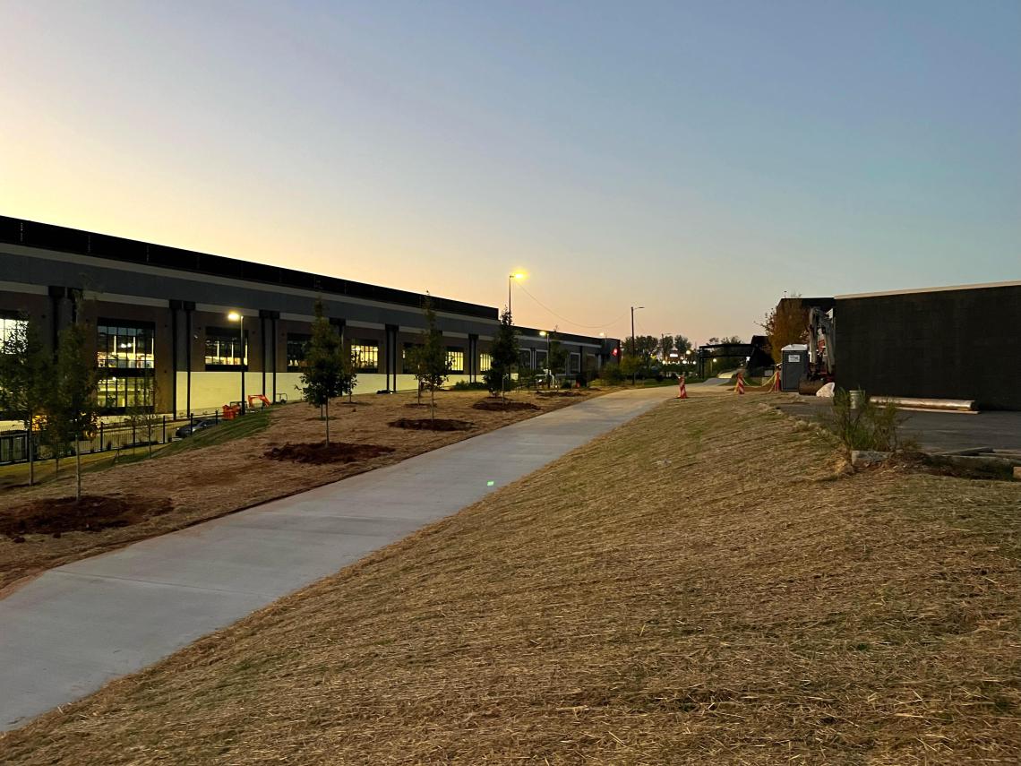
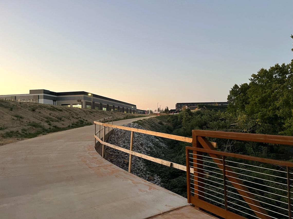
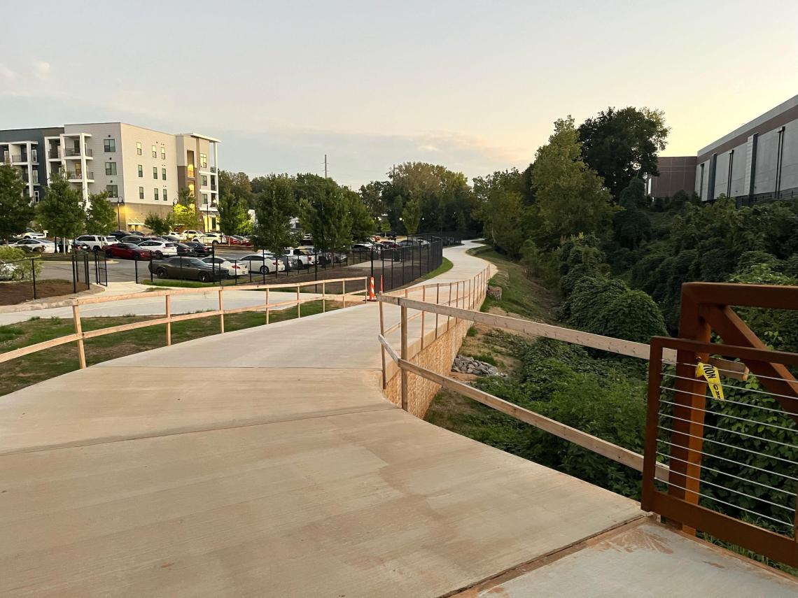
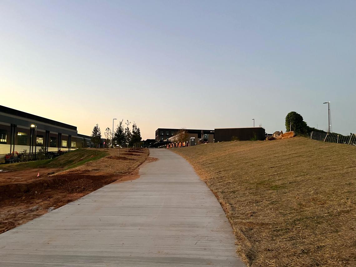
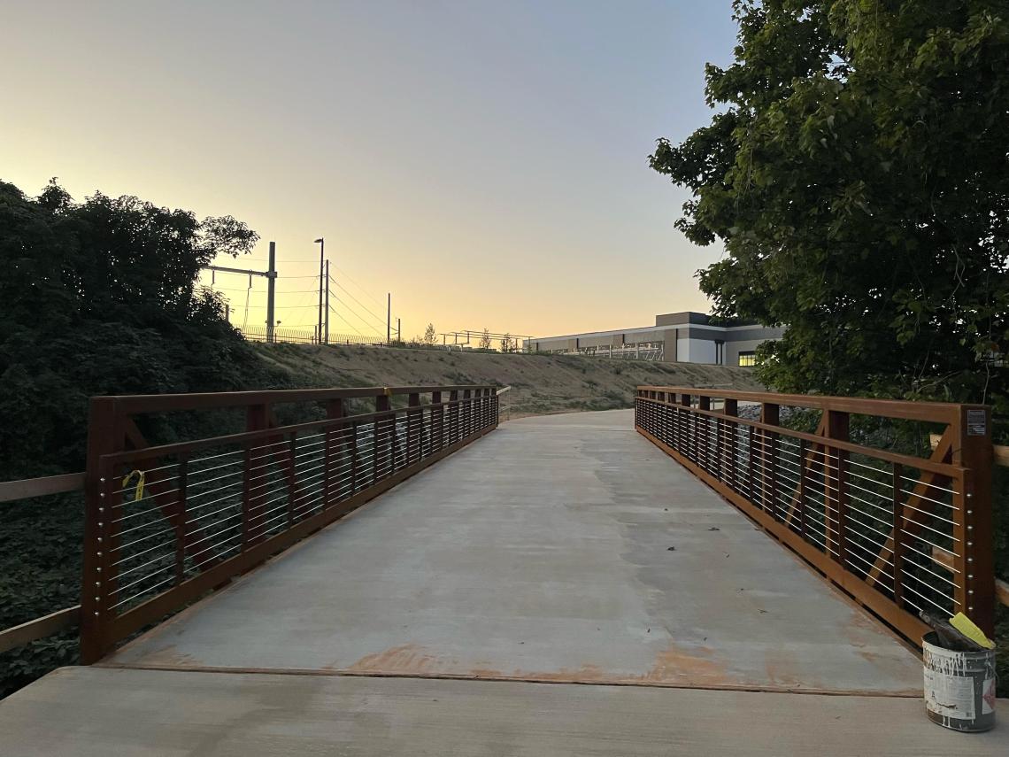
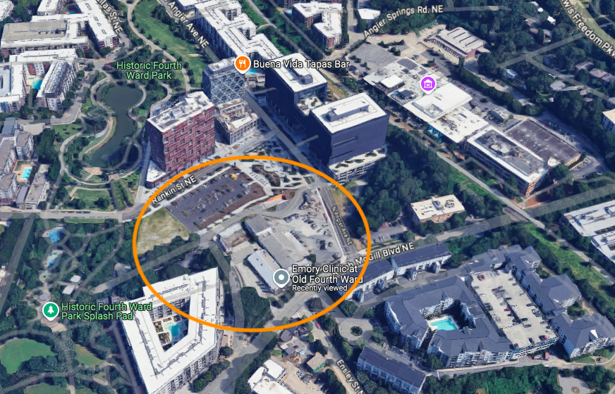
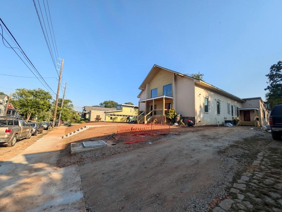
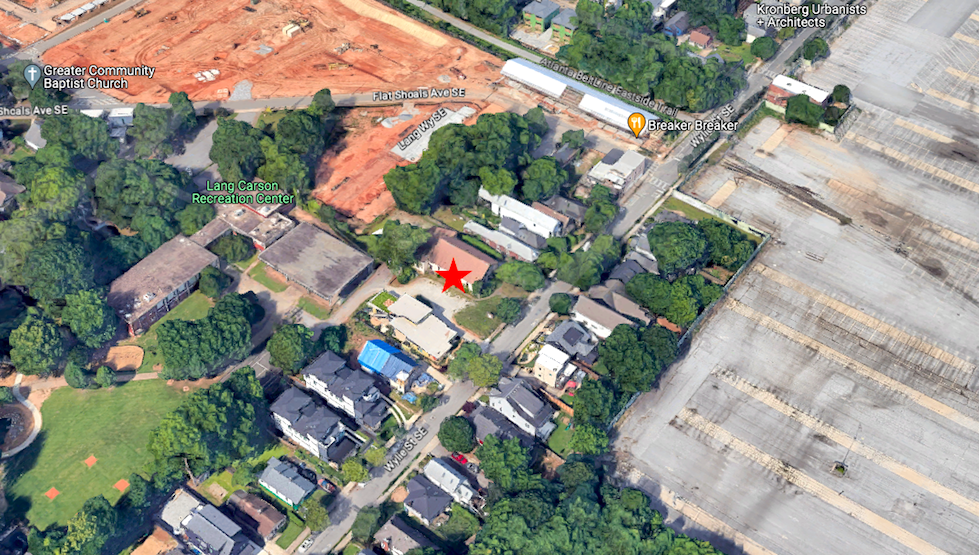
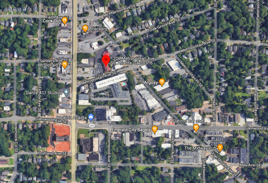
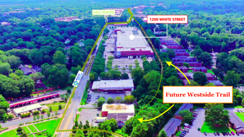
The final development site in question is a grassy corner at 415 Bill Kennedy Way, situated across the street from the Beltline’s in-street Southside Trail section buffered away from vehicles (or what will soon be called the Southeast Trail). It’s next to Fuqua Development’s Kroger-anchored Glenwood Place, immediately south of a (too) popular Chick-fil-A known for clogging the area with drive-thru traffic.
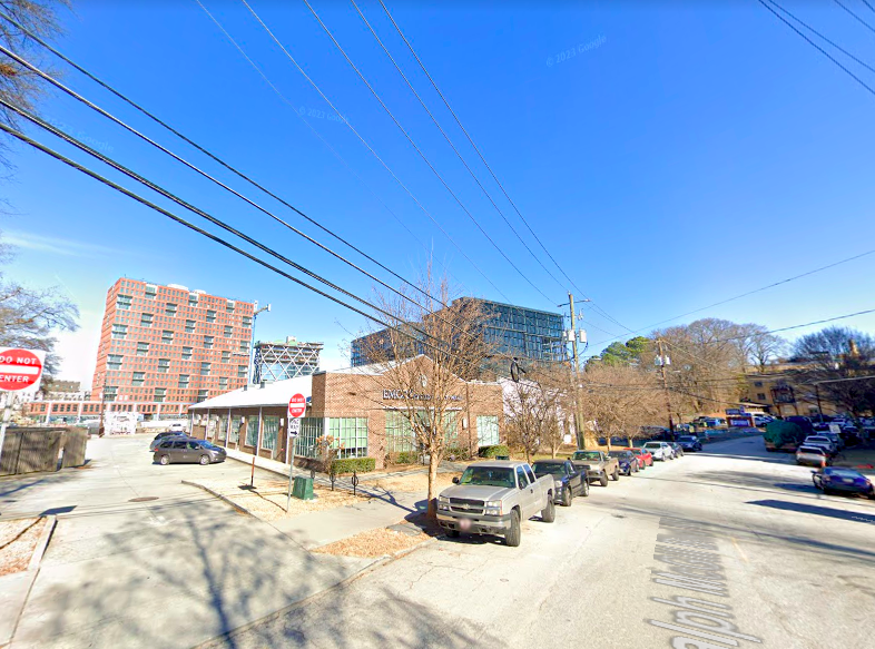
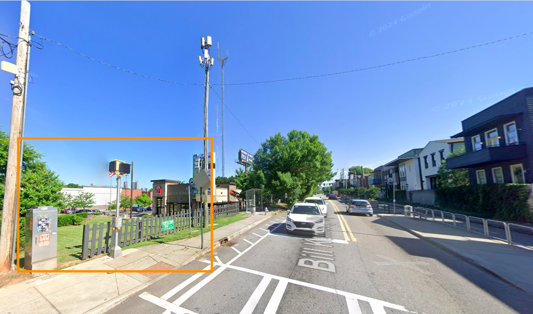 The Bill Kennedy Way corner lot in question, looking north, with the Beltline shown at right. Google Maps
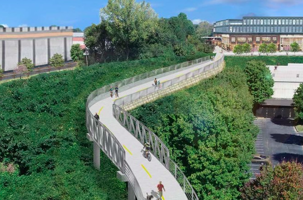
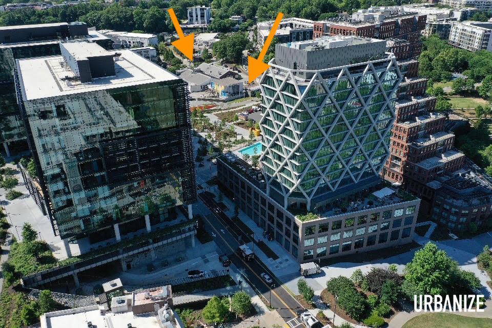
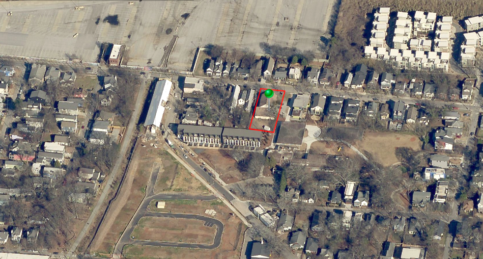
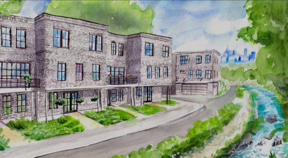
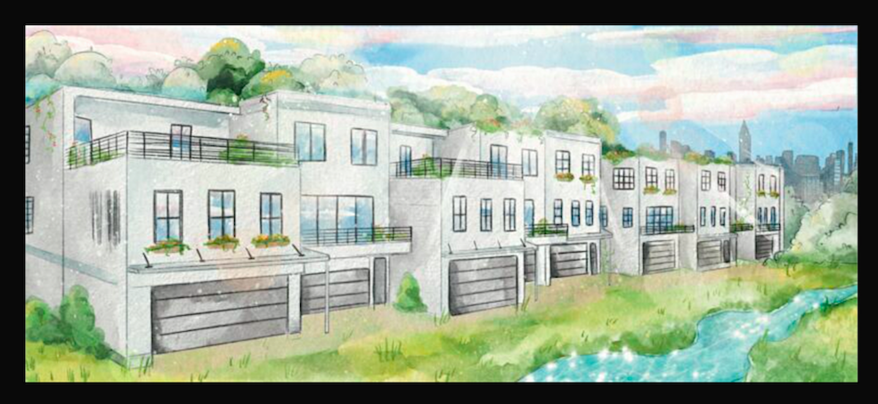
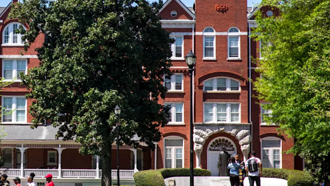
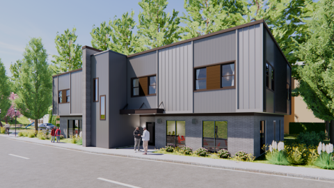
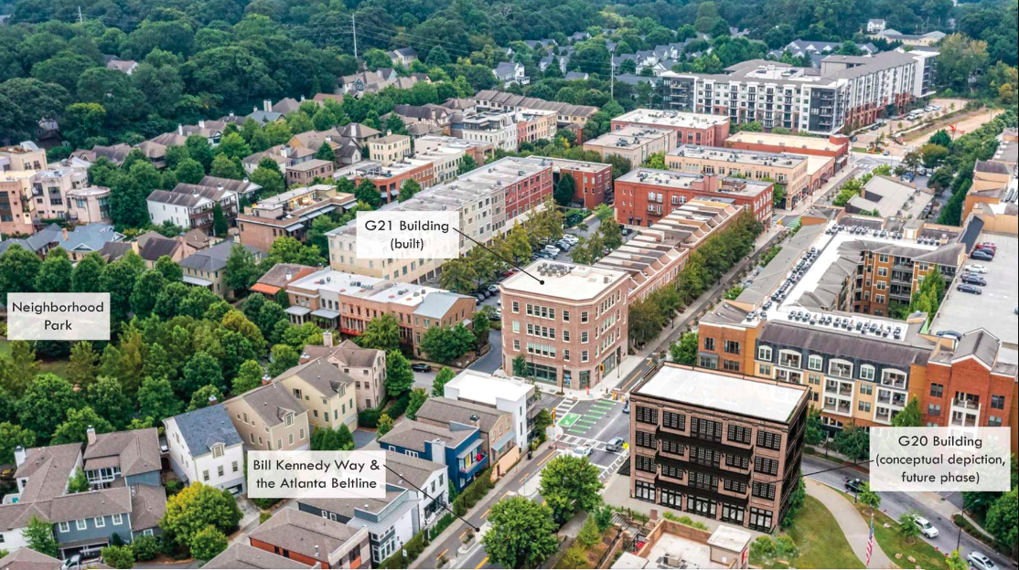 How the final Glenwood Park building (bottom right) would fit with existing development where Ormewood Park meets Grant Park. Historical Concepts; via CNU
Architecture firm Historical Concepts tells CNU the traditional new office structure will include no additional parking spaces because sufficient, shared parking was baked into Glenwood Park’s masterplan. Beltline and MARTA bus connectivity also provide the area with commuting alternatives.
The building's site plan took three years of engagement between a Beltline traffic engineer, MARTA, Atlanta Public Works, Georgia Department of Transportation, and neighborhood groups, per the architects.
Apart from the office proposal and another four-story, traditional mixed-use building that was finished in 2020 diagonal from it, all components of Glenwood Park were finished in 2015. (Historical Concepts officials tell CNU the finished office building, which counts a Pedego Electric Bikes location on its ground floor, houses 45 employees today, and nearly 1/3 of them arrive by foot or bicycle.)
Construction on the final Glenwood Park building is scheduled to start sometime next year, according to architects, though building permit records show no activity for the Bill Kennedy Way site in recent years. Designs call for terraces and balconies to be located on the north façade
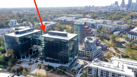
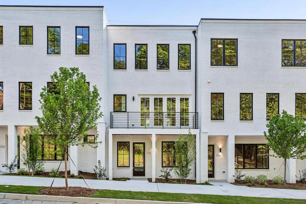
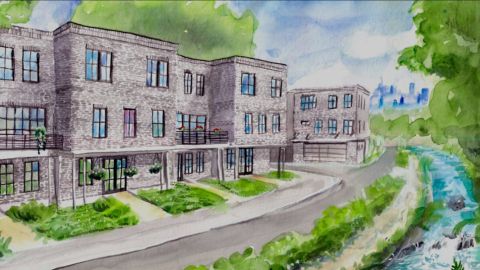
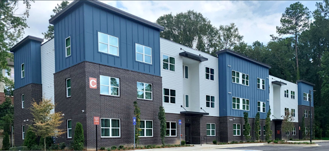
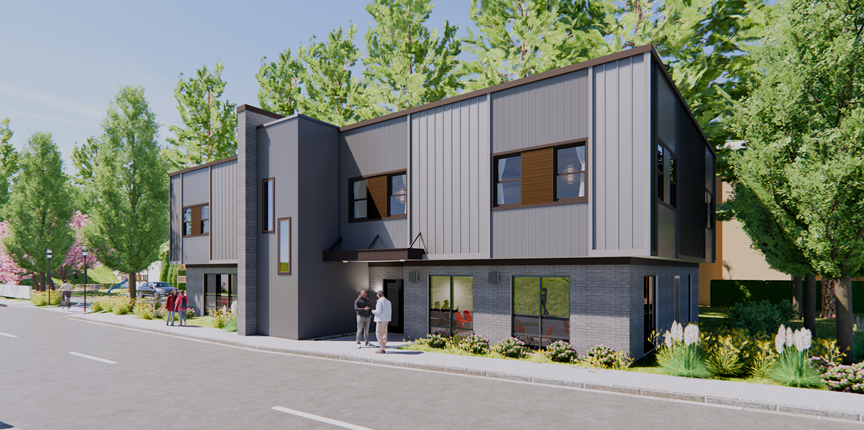
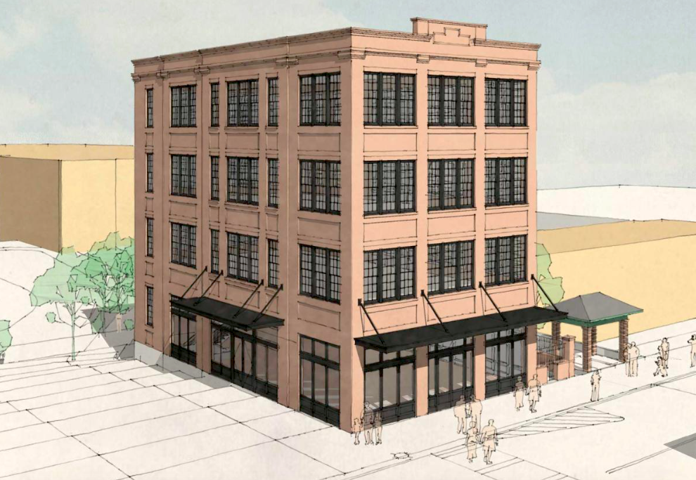 Four-story facade with a retail base planned for 415 Bill Kennedy Way. Historical Concepts
Glenwood Park, originally planned by TSW and Dover, Kohl & Partners, won a Charter Award for its planning in 2003 and was named the EarthCraft House Development of the Year two years later. The latter award lauded the project’s “progressive site design, high-performance homes, residents’ involvement in community life, and [prowess in] connecting the development to transportation and business districts.”
Beyond the homes, greenspaces, and public bocce, Glenwood Park’s previously flood-prone, postindustrial blight was replaced with more than a thousand trees and a rainwater harvesting system that collects nearly two million gallons annually, supplying the neighborhood’s parks and street trees.
Glenwood Park developer Charles Brewer noted in the CNU report that a second new office building will increase affordability in the neighborhood by allowing residents to also work there, without shouldering the expense of vehicle ownership.
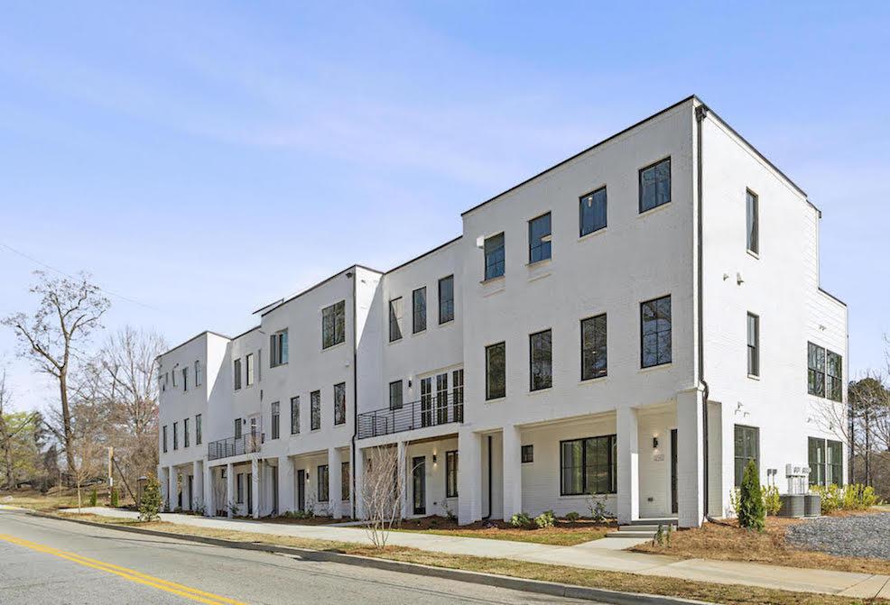
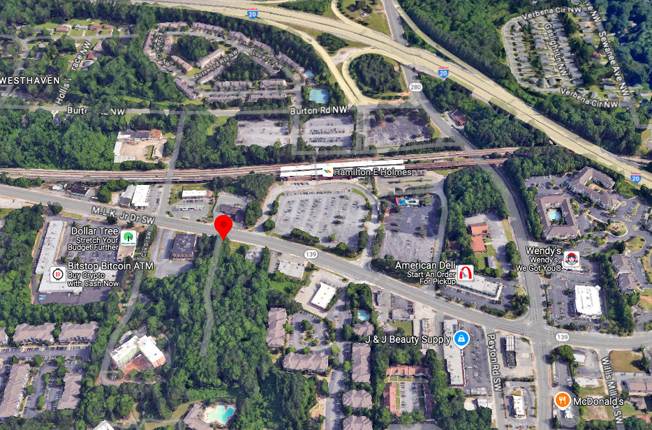
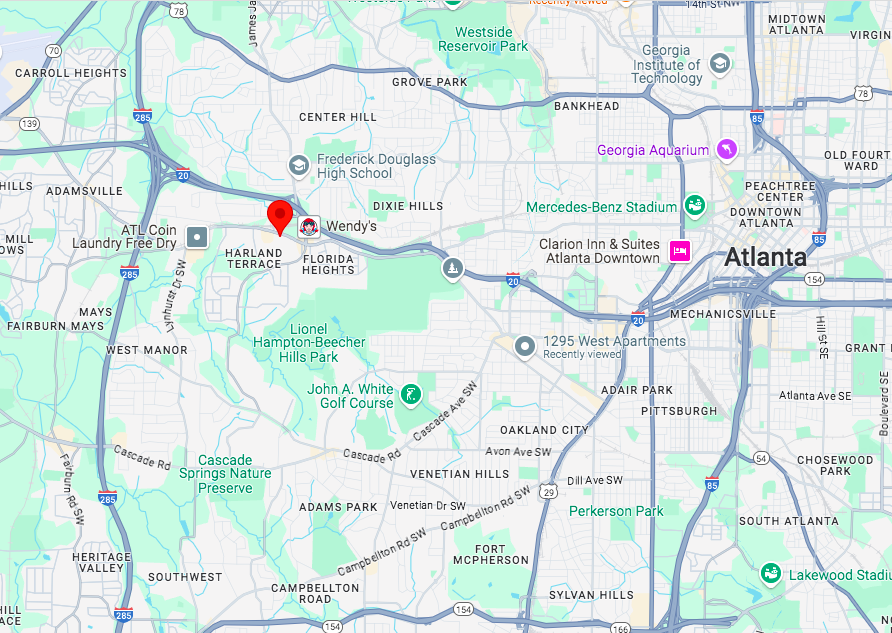
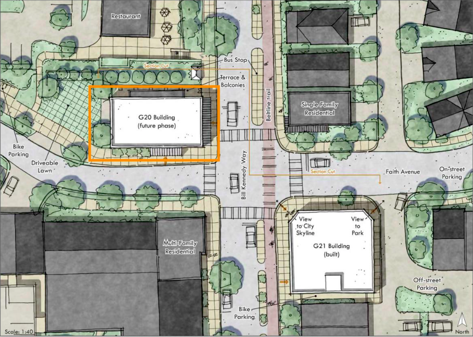 Location of 415 Bill Kennedy Way SE, immediately south of a Chick-fil-A. Historical Concepts
...
Follow us on social media:
Twitter / Facebook/and now: Instagram
• Ormewood Park news, discussion (Urbanize Atlanta)
Tags
415 Bill Kennedy Way SE Glenwood Park Congress for the New Urbanism Faith Avenue Glenwood Place Fuqua Development Chick-fil-A New Urbanism Dover Kohl & Partners TSW Historical Concepts MARTA Office Space Atlanta Offices Atlanta Office Space Office Market Atlanta Office Market exterior design Atlanta Architecture master planned community development CNU Pedego Electric Bikes Charles Brewer
Images
The Bill Kennedy Way corner lot in question, looking north, with the Beltline shown at right. Google Maps
How the final Glenwood Park building (bottom right) would fit with existing development where Ormewood Park meets Grant Park. Historical Concepts; via CNU
Location of 415 Bill Kennedy Way SE, immediately south of a Chick-fil-A. Historical Concepts
Four-story facade with a retail base planned for 415 Bill Kennedy Way. Historical Concepts
Subtitle Throwback, infill corner proposal overlooking Atlanta Beltline calls for zero new parking spaces
Neighborhood Glenwood Park
Background Image
Image
Before/After Images
Sponsored Post Off